 |
Casa Amarilla, Finca Palo Alto
|
This week, I headed towards the south-west of the island to the tiny hill village of El Jaral in the Guia de Isora region, situated around 800 metres above sea level. This tranquil, sleepy village is the 'jumping off' point for numerous pathways and there are a number of information boards outlining details of the more major routes.
 |
Cobbled path into the Barranco del Pozo
|
From a parking area in the village I followed a lane, 'Las Escuelas' out of the village to the Finca Palo Alto casa rural and climbed steeply on a cobbled path arriving at a spectacular viewpoint by an old ruined building on the edge of the Barranco del Pozo, which was partly hidden in the deep shadow of the early morning sunshine.
 |
Shadow in the Barranco del Pozo
|
 |
Houseleeks in the Barranco del Pozo
|
After descending to the stream-bed, I began climbing very steeply up the far wall of the barranco on a fairly narrow path, the views as I climbed were simply stunning and far reaching, with the Teno Mountains visible in the west and the coast far below.
 |
Looking north-west to the Teno Mountains
|
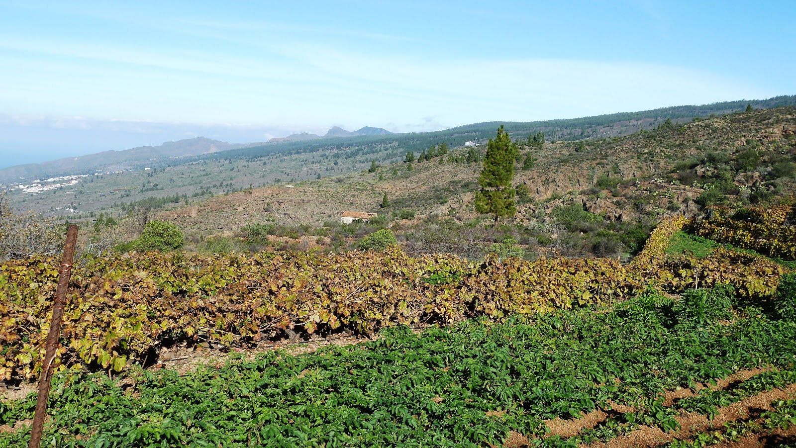
Skirting around a fenced field, I reached a track in El Choro, an area I was familiar with from other walks in the area. Here, there are many terraces where potatoes and other vegetables and fruit are grown. Climbing the track, I eventually reached a reservoir, where I diverted onto a path on the right of the track, which followed the western wall of the Barranco de Niagra.
 |
Reservoir near the Barranco de Niagra
|
 |
Potatoes and Vines growing above El Choro
|
 |
Ascending views to Montana Tejina, Las Fuentes & El Choro
|
Almost immediately, my way was blocked by two wooden barriers wedged very tightly into the rock on either side of the path. After a bit of a scramble, I managed to crawl under the barrier and began following the very clear, wide path on the other side. It soon became clear that the path was grazed and trampled by animals of some sort and my first thought was that it was probably goats. This idea was soon dispelled however, when I came across heaps of manure in the path, which led me to believe that the path was probably used by horses and sure enough, as I rounded a corner, I was suddenly faced with two horses and a donkey that turned at the sound of my approach. It was then that I noticed that one of them, a red-chestnut coloured horse, was seriously undernourished with all of it's ribs, backbone and hips clearly visible. All three animals seemed to me to be very subdued and even when I approached them, showed little reaction. Feeling sorry for the malnourished horse, I reached into my rucksack for an apple and fed it to it, which seemed a futile gesture in the circumstances but the horse seemed to appreciate it anyway.


I realised that the wooden barrier on the entrance to the barranco had been put there to keep the horses in, so presumably someone was feeding them but obviously not nearly enough. Leaving the horses, I continued along the barranco before climbing out onto the rim and after passing a large cave on the right, climbed fairly steeply alongside the barranco looking for a path on the left. As I climbed, I could see a good path below on my left on the opposite side of a valley and guessed that this was the path I was looking for. Continuing the climb, I soon realised that I was now too high and turned round to descend once more to locate the start of the path.
 |
The cave on the edge of the Barranco de Niagra
|
Eventually, just above the cave, I found a sign painted on a rock in very small, faded lettering at the entrance to the path pointing to 'El Jaral - 3 hours'. After following the path for a few minutes, it suddenly vanished and I found myself on a hillside of blackened, burnt bushes from the recent fires and no obvious onward path. Pushing my way through, I descended into the bottom of the small valley and climbed the other side, eventually locating the path I had seen from above. Curious, I walked back along the path to the 'El Jaral' sign to see where I had gone wrong and it soon became obvious that the dead-end path I had taken was more prominent than the correct one, which had led to me take the wrong route. Now following the correct path, I frequently had to step off of it to pass around trees and bushes growing on it but otherwise it was easy to follow. Stopping for a break above a ridge, I sat and enjoyed the excellent scenery, with views ahead now of the large rounded bulk of Montana Tejina and the white shape of the small ermita on the summit.
 |
Returning to El Jaral
|
As I sat eating and resting, the sky, which had up to now been clear and sunny became suddenly overcast and I turned round to see mist rolling down the hillside towards me. Taking this as my cue to carry on, I descended in zig-zags to the summit of a ridge and followed this to a turning on the right that descended steeply into the Barranco de Honduras and the Saltadero de La Aguilar water gallery in the bottom of the ravine. Climbing out of the barranco, I descended into another and followed a good path out that became paved for a short distance before turning onto a steep, rocky path back into the village of El Jaral after 4.75 hours of fairly adventurous walking, although this time was inflated by the detours owing to the problems locating the path back to the village.


No comments:
Post a Comment