Pages

Walking in Arico

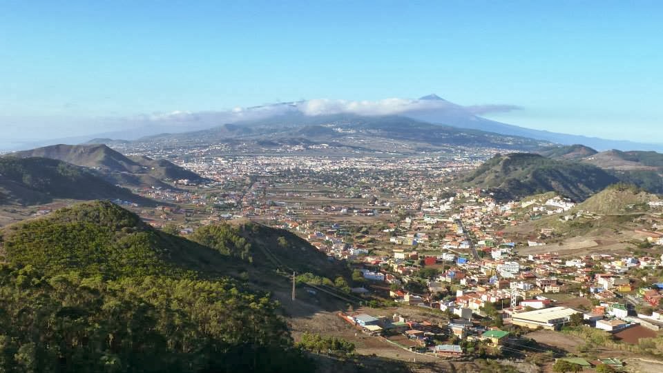
View from the Lomo de Tamadaya

This week, I walked from the beautifully preserved village of Arico Nuevo to El Contador, high in the mountains above Arico. The walk, which was quite strenuous, is around 20 kilometres long, took 7.5 hours and involved around 4,600ft/1,400 mtrs of ascent. After leaving Arico Nuevo, I followed an old camino real to Villa de Arico from where I picked up the PR -TF86 path to El Contador, a recreation zone/barbecue area in the pine forest. From there, I followed another branch of the PR-TF86 back to Arico Nuevo. The scenery, particularly around the Roques de Tamadaya is stunning. Below is a video of photos and video clips taken on the walk. 

A walk around Cabezo del Viento, Anaga, Tenerife

View to Teide from Mirador de Jardines

I started this walk from the stunning Mirador de Jardines viewpoint from where I had breathtaking views across to the peak of Teide as puffs of cotton-wool like cloud threatened to obscure the volcano. 

A Circular walk from Los Cristianos to Montaña Rasca

The coastal walk from Los Cristianos to Punta de Rasca passes through the Malpais de Rasca, a protected volcanic area on the southern tip of the island. After climbing the cliffs from the seafront the early part of the walk follows the Guaza plateau before dropping steeply down to the beach at the resort of Palm-mar. From here, the path through the malpais is followed to the lighthouse at Punta de Rasca, which is a good spot for a break. From here, the path carries on along the coast to the coastal town of Las Galletas but on this occasion I was heading inland to the volcanic cone of Montaña Rasca. The path continues through the malpais passing numerous spurges and prickly pear plants before climbing steeply to the summit marker. From here there is a superb panorama of the coast as well as excellent views inland of the summit of Roque del Conde and Teide itself, the summit of which is just visible peeping over the caldera wall. From Montaña Rasca, a trail is followed back down passing vineyards to the road and the Palm-mar arch. After a short walk along the road, the route strikes off again on a path onto the Guaza plateau for the second time. After crossing  the plateau, a path descends back down into Los Cristianos.

 Los Cristianos as seen on the climb to the Guaza plateau

Chinyero and Montana del Estrecho


Montana Chinyero, with Teide & Pico Viejo in the background

In 1909, to the north-west of Teide, the last ever eruption on the island took place. The cinder cone of Montana Chinyero was formed during this eruption and a circular walking route of 5.7 kilometres was renovated and signposted in 2009 to mark the centenary of the event.

Ruta del Agua & the Barranco de Badajoz, Guimar

San Juan, Guimar 

The Ruta del Agua (Water Route) is a walk from the San Juan district of Guimar to the old hydro-electric station built in 1924 for the supply of electricity to the town and surrounding district. This took advantage of the very steep terrain and the numerous water gallerias that fed water downhill via a network of tajeas, or water channels.

Puerto de Erjos to Las Portelas

Large Leaved St.John's Wort

Yesterday, I set off from a fairly cold and cloudy parking spot by an information board at Puerto de Erjos overlooking the Erjos Pools to walk the Cumbre be Bolico and Cumbre de Masca ridge to the village of Las Portelas in the El Palmar Valley.

Exploring the Barranco de Tagara

Montaña del Cedro

I have been busy recently with guiding so haven't had much time to explore new routes or update this blog but yesterday I managed to check out a route I haven't walked before around the Roques del Cedro close to the perimeter of the National Park. I started the walk from the Mirador de Chio on the TF38,  the bulk of Pico Viejo forming an imposing backdrop as Teide peered over it's shoulder like a big brother keeping an eye on his wayward younger sibling.

Exploring the PR-TF83 from Cruz de Tea

Cruz de Tea from the PR-TF83

One of the original reasons for writing this blog was to keep purchasers of the book updated with any route changes and alternatives that I came across while doing the walks. Recently, I walked from Cruz de Tea, start of the Montaña Colorada walk, to check out the new PR-TF83 signposts that had appeared recently in the village as I was curious to discover where the route went. Picking up the signposts near the bus stop, I followed them along the quiet road out of the village, which eventually joined a stony way-marked trail as it climbed steeply to the hamlet of El Pinar on a beautiful morning as the dark silhouette of Gran Canaria hovered over the coastline far below.